1 Overview
1.1 Exploring the Geography of Educational Opportunity
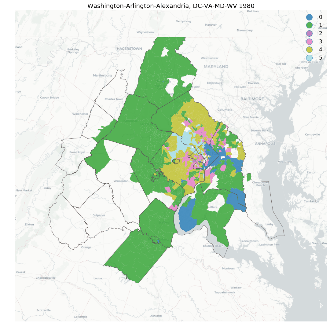
The release of the Stanford Educational Data Archive (SEDA) presents an enormous opportunity to understand the landscape of educational achievement in the U.S. While a growing body of researchers continue to examine these data to understand the relationship between educational outcomes and other phenomena like segregation and neighborhood change, very little research examines formal, spatially-explicit relationships in these data.
This document provides both an exploratory analysis of the landscape of educational achievement in four states across the country, and a detailed tutorial demonstrating how to apply geosnap and PySAL, two state-of-the-art tools for spatial analysis, to investigate the importance of considering geographic relationships when conducting research and policy analyses in the education arena.
We begin by (very) briefly introducing the geosnap software package, which forms the core of the analysis by providing a simple interface to collect the necessary achievement data, and a set of powerful tools for exploring and modeling the achievement data through time and space.
1.2 The Geosnap Software Package
geosnap makes it easier to explore, model, analyze, and visualize the social and spatial dynamics of neighborhoods. Neighborhoods are important for a wide variety of reasons, but they’re hard to study because of some long-standing challenges, including that
- there is no formal definition of a “neighborhood” so identifying and modeling them is frought with uncertainty
- many different physical and social data can characterize a neighborhood (e.g. its proximity to the urban core, its share of residents with a high school education, or the median price of its apartments) so there are countless ways to model neighborhoods by choosing different subsets of attributes
- conceptually, neighborhoods evolve through both space and time, meaning their socially-construed boundaries can shift over time, as can their demographic makeup.
- geographic tabulation units change boundaries over time, meaning the raw data are aggregated to different areal units at differerent points in time.
To address these challenges,geosnap provides a suite of tools for creating socio-spatial datasets, harmonizing those datasets into consistent set of time-static boundaries, modeling bespoke neighborhoods and prototypical neighborhood types, and modeling neighborhood change using classic and spatial statistical methods. It also provides a set of static and interactive visualization tools to help you display and understand the critical information at each step of the process.
Batteries Included: geosnap comes packed with 30 years of census data, thanks to quilt, so you can get started modeling neighborhoods in the U.S. immediately. But you’re not just limited to the data provided with the package. geosnap works with any data you provide, any place in the world.
1.2.1 Installation
There is no need to install any software to consume the analysis, but everything you see here can be recreated from scratch along with the included code. To follow along, you only need to install geosnap and run the jupyter notebooks that comprise the source of this document.
The recommended method for installing geosnap is with anaconda. To get started with the development version, clone this repository or download it manually then cd into the directory and run the following commands:
conda env create -f environment.yml
conda activate geosnap
python setup.py develop
This will download the appropriate dependencies and install geosnap in its own conda environment.
1.2.2 Citation
For a generic citation of geosnap, we recommend the following:
@misc{Knaap2019,
author = {Knaap, Elijah and Kang, Wei and Rey, Sergio and Wolf, Levi John and Cortes, Renan Xavier and Han, Su},
doi = {10.5281/ZENODO.3526163},
title = {geosnap: The Geospatial Neighborhood Analysis Package},
url = {https://zenodo.org/record/3526163},
year = {2019}
}
If you need to cite a specific release of the package, please find the appropriate version on Zenodo